Day 3 - First stop was the Joshua Tree Park located inside the Mojave Desert. Stopped by the visitors center to gather information on the multiple hiking trails. Picked one named Cap Rock.
INFORMATION AT THE VISITORS CENTER ABOUT
THE JOSHUA TREE
THE BEGINNING OF THE TRAIL AND VIEWS INSIDE THE PARK
 |
| CAP ROCK |
 |
| Start of the Trail |
View into the park
View at Cap Rock
Little guy who crossed our path.
We drove back to San Bernardino to rejoin Route 66.
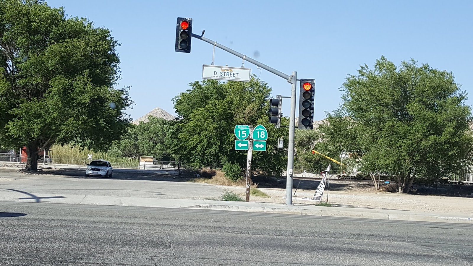
Scenes along the route.
 |
| Rt66 aligns with BL15, the local road parallel to I15 |
Along the road to Barstow, Route 66 is named Nationals Trails Highway
In case you're not sure where you are, there are frequent reminders painted on the road.
In Barstow, is one of the original Harvey Houses, now a musueum and visitors center.
Fred Harvey
civilized the west with his “3000 Miles of Hospitality” that consisted
of an extensive chain of Hotels, Shops, and Restaurants along the Santa
Fe Railway, staffed by a professional, customer service army which
included the famous Harvey Girls. We saw and visited several of the remaining buildings along our trip.
Here is a link to the history of Fred Harvey, the hotels and the Harvey Girls for those who would like to learn more about the man and what he accomplished.
Further north in Daggett we passed the old agricultural inspection station. It was here that vehicles entering California had to stop and open all luggage, boxes and whatever else was being carried. It was also here that the Joads ("The Grapes of Wrath") convinced the officers that grandma was ill and had to be rushed to a doctor, when in fact she was dead.
About a half hour from Barstow is the Bagdad Cafe in Newberry Springs. The cult classic Percy Adlon movie Bagdad Café was shot at the town’s one and only café, now also known as the Bagdad Cafe. It is still in operation.
A short time later we came to a railroad crossing and found, to our dismay, an enormous freight trais. It disappeared from view in both directions. After about 15 minutes, the last car passed and we were able to continue.
Later we were riding parallel to the tracks and could see the train from a distance.
We're now in the middle of the Mohave Desert, heading east toward Needles, CA our stop for the night. An hour or so later, after sunset, we came upon a "ROAD CLOSED" sign. Using the GPS we were able to find a route around the closing but is cost us about 45 minutes. We arrived in Needles around 9PM to find that there was only one restaurant open. It did not disappoint us as the food was fine. This was the end of the longest day of the trip.


 View into the park


 In Barstow, is one of the original Harvey Houses, now a musueum and visitors center.

 Fred Harvey
civilized the west with his “3000 Miles of Hospitality” that consisted
of an extensive chain of Hotels, Shops, and Restaurants along the Santa
Fe Railway, staffed by a professional, customer service army which
included the famous Harvey Girls. We saw and visited several of the remaining buildings along our trip.
Fred Harvey
civilized the west with his “3000 Miles of Hospitality” that consisted
of an extensive chain of Hotels, Shops, and Restaurants along the Santa
Fe Railway, staffed by a professional, customer service army which
included the famous Harvey Girls. We saw and visited several of the remaining buildings along our trip. 


 About a half hour from Barstow is the Bagdad Cafe in Newberry Springs. The cult classic Percy Adlon movie Bagdad Café was shot at the town’s one and only café, now also known as the Bagdad Cafe. It is still in operation.
 A short time later we came to a railroad crossing and found, to our dismay, an enormous freight trais. It disappeared from view in both directions. After about 15 minutes, the last car passed and we were able to continue.
 Later we were riding parallel to the tracks and could see the train from a distance.
 We're now in the middle of the Mohave Desert, heading east toward Needles, CA our stop for the night. An hour or so later, after sunset, we came upon a "ROAD CLOSED" sign. Using the GPS we were able to find a route around the closing but is cost us about 45 minutes. We arrived in Needles around 9PM to find that there was only one restaurant open. It did not disappoint us as the food was fine. This was the end of the longest day of the trip.


Comments
Post a Comment